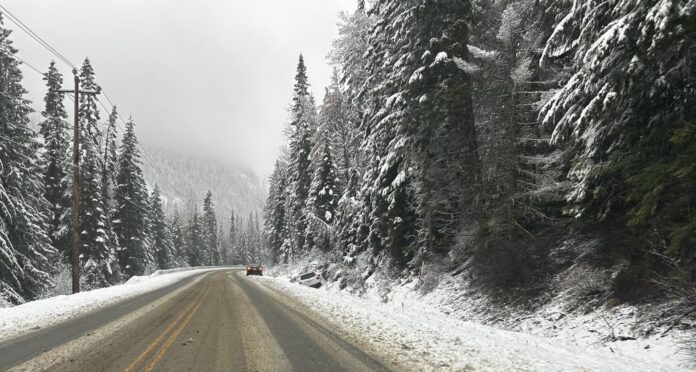
This week’s weather marks the start of a cold and snowy winter in the Kootenays, according to Environment Canada.
A winter storm warning has been issued for higher elevations in B.C.’s Southern Interior, with Environment Canada forecasting snowfall accumulations on the Kootenay Pass of up to 40 cm from Monday into Tuesday morning.
Environment Canada meteorologist Ken Dosanjh says the province started off with an active fall, specifically in the coastal regions, which were seeing the reoccurrence of several weather systems. Those systems have now gained strength and have been pushed into the interior region.
“We’re noticing a fairly strong low-pressure centre that’s oriented along the north coast of B.C., and it’s actually going to move over the B.C. interior around the Prince George region. Because it has such a large spatial scale, we are seeing those effects over the Kootenay region. Hence, there is a winter storm warning in effect for Kootenay Pass, meaning we are realistically at the start of our cool season for now.”
Dosanjh says freezing levels are dropping over higher terrain, which is why communities in lower elevations are seeing more precipitation. However, freezing levels are expected to drop even more next week.
The forecast for November is wet, with Dosanjh stating that after the weather system currently making its way through the region passes, more are expected to follow right after.
“For November, we are seeing a wetter-than-normal month in terms of precipitation, but most of those signals seem to be a little stronger as you move toward southwestern B.C. and the B.C. Coast. So for now, it’s a bit of an unknown.
At least for this week, we are noticing this system will roll through, and then a few more systems are expected on Friday and Sunday, and even as early as next week.”
The Kootenays are still on track to see a snowier and colder winter than last year. A mild La Niña system is still in the forecast, which is typically associated with increased snowpack and cooler temperatures. However, Dosanjh says signals indicate that the system will be weak.
“When we say weak, it means the signals for a strong La Niña are definitely less prevalent, and we’re flirting more between a neutral condition and a weak La Niña. So if we were to see any increased precipitation throughout the winter months and cooler temperatures, the signals for that are generally more muted than what you would see for a stronger La Niña event, which we’re anticipating to occur between now and December-January.”
Be the first to know! Don’t miss out on breaking news and daily updates in your area. Sign up to MyNelsonNow News Alerts.


