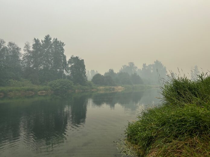
More residents will be able to return home as a number of evacuation orders have been downgraded to alerts.
The latest round of downgrades includes:
- The Village of Slocan, as well as 256 properties and 133 parcel identifiers (PIDs) in Electoral Area H to an Evacuation Alert due to the Ponderosa and Mulvey Creek wildfires, part of the Slocan Lake Complex. The Village of Slocan and surrounding area had been on Evacuation Order since July 28. See attachments for impacted addresses and maps below.
The Boil Water Notice, originally issued on July 28, will remain in place for the Village of Slocan. - Nemo Creek Wildfire, for one address and 20 parcel identifiers (PIDs) on the west shore of Slocan Lake in Electoral Area H.
- Komonko Creek Wildfire, for 43 properties and 31 parcel identifiers (PIDs) in Electoral Area H. The area includes properties from 3 km north of the Village of Slocan to Red Mountain Road.
The Ministry of Transportation and Infrastructure has now opened Highway 6 completely; however, please drive with caution as crews are still working in the area.
Residents that have been downgraded to an Evacuation Alert are returning to a community where the surrounding area was affected by a wildfire.
Unseen dangers may linger when returning to their homes and properties, ranging from gas leaks and weakened foundations to danger trees, and exposed wires and power lines. Using caution can help reduce potential injuries.
When in doubt, consult an expert for help.
Burned forests have significant hazards. This will remain for years. The fire has left behind danger trees – those are trees which can fall without warning even without a wind, due to roots being burned out.
As well, watch for ash pits and mark them for safety. Ash pits are holes full of hot ashes, created by burned trees and stumps. You can be seriously burned by falling into ash pits or landing in them with your hands or feet. Warn your family and neighbours to keep clear of the pits.
The RDCK advises all residents to read through the information in this re-entry document on what to do when you return home after a wildfire.
Where to find information
The BC Wildfire Service is the primary source of information for all wildfire activity.
Regional District Central Kootenay (RDCK) is the primary source of information for evacuation orders and evacuation alerts.
Drive BC for all information on roads and road closures.
Be the first to know! Don’t miss out on breaking news and daily updates in your area. Sign up to MyNelsonNow News Alerts.


