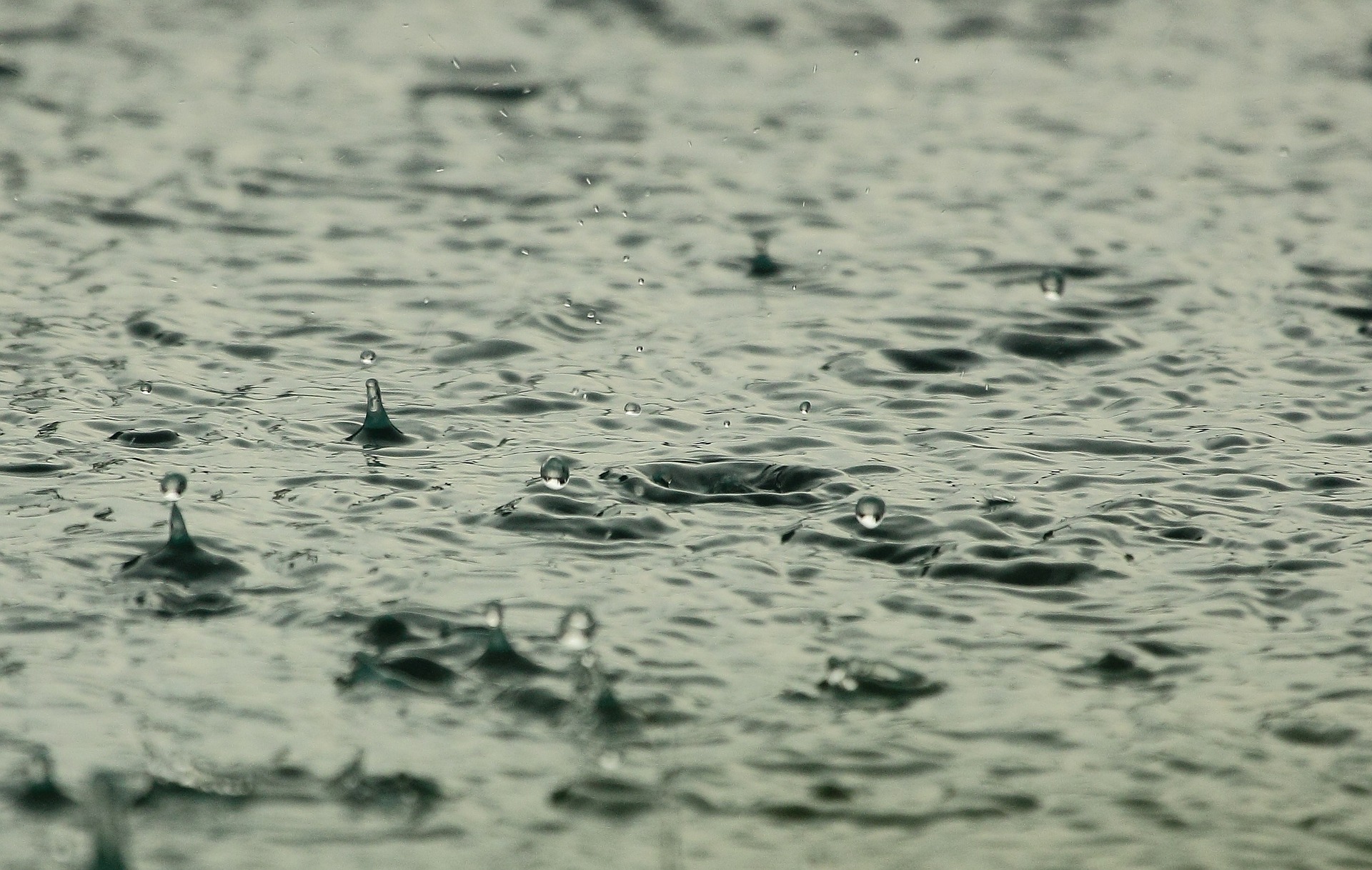
A low-pressure centre coming up from the U.S. will bring prolonged rainfall in B.C.’s interior and southern Alberta, with snow expected through Kootenay Pass.
Environment Canada officials predict the weather system to linger in B.C. until Tuesday, but Alberta will have to deal with heavy rain for an extra day.
For most of the West and East Kootenay, a special weather statement is in place, with 30 to 50 millimetres of rain expected before easing off to periods of light rain by Tuesday afternoon.
Meanwhile, Highway 3 from Paulson Summit to Kootenay Pass is under a snowfall warning, as the rain is expected to change to wet snow overnight and then back into rain by Tuesday morning.
Environment Canada officials said 10 to 15 centimetres of snow is predicted to fall on the area overnight.
In the Elk Valley, Environment Canada has issued a rainfall warning, which may be heavy at times.
The forecaster predicts 50 to 80 millimetres of rain is expected early in the week before tapering off to light showers by Tuesday night.
Officials with the weather agency said the Fernie area can expect the heaviest rainfall.
Across the provincial border, a rainfall warning is in place for the Crowsnest Pass and Calgary area, along with much of the southern-central portion of Alberta.
The forecaster calls for 75 to 125 millimetres of rain to fall across the region on Monday and Tuesday, before tapering off on Wednesday.
Officials say some parts of Alberta may see up to 150 millimetres of rain.
Environment Canada officials warn that flash floods may happen from heavy downpours, and ask residents to watch out for washouts near rivers, creeks and culverts.
The forecasting agency urges drivers to use caution when travelling through heavy rain and snowfall conditions.
You can keep track of road local forecasts, weather alerts and road conditions through the link below.
More: Environment Canada weather alerts
More: Drive BC map


